
No. 262242
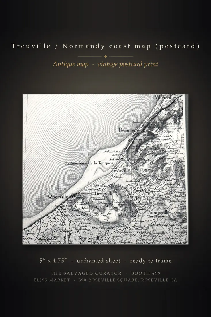
Trouville Normandy Coast France Vintage Map Postcard Art Book Print 5x4.75
Trouville Normandy Coast France Vintage Map Postcard Art Book Print 5x4.75. Item No. 262242. Size: 5 x 4.75 inches. Weight: 1 oz. Condition: pre-owned, sold as-is. Available now for $6, in person at Booth #99, Bliss Market, 390 Roseville Square, Roseville CA, or online through Bliss Market.
$6
Available now
Order online and Bliss Market professionally packs and ships it — same day on orders in by 6pm PT, next day after that — or holds it for you to collect at the booth. Message me before you head over and I'll confirm it's still on the shelf.
Vintage Trouville & Normandy Coast France Fine Art Map Postcard Print
Historical Cartography: A crisp, detailed monochrome black-and-white print of a vintage topographer's map showcasing Trouville-sur-Mer and the scenic Normandy coast of France. Highly prominent locations include Bénerville, Embouchure de la Touques, Touques, Hennequeville, and Bonneville—coastal regions celebrated by 19th-century French landscape artists.
Unique Construction: This item features an illustration plate meticulously salvaged from a premium art history publication and mounted onto a sturdy, dark grey decorative backing board.
Detailed Reverse Side: The back features a dark starry constellation-style pattern complete with an educational gallery text label detailing the piece: Map 8. Trouville and the Coast.
Versatile Decor: Perfect for miniature framing, junk journals, scrapbooking, or as a distinctive postcard display for cartography lovers, Francophiles, and art history enthusiasts. Arrives safely enclosed inside a clear protective plastic sleeve wrapper.
Subject: Vintage Map of Trouville and the Coast (Normandy, France)
- Size5 x 4.75 inches
- MaterialVintage Art Book Print mounted on Solid Backing Board
See it in person
Booth #99 · Bliss Market
390 Roseville Square, Roseville CA
Tuesday to Sunday, 10am to 6pm